The Office of the Surveyor General of the Federation (OSGOF) has inaugurated a pioneering project to create a highly detailed topographical map of the Federal Capital Territory using drone technology.

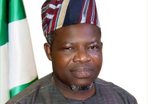
The Surveyor-General, Mr. Abuduganiyu Adebomehin, made this known at a one-day workshop on Thursday, April 3, 2025, in Abuja.
The workshop, organised by OSGOF, focused on the use cases for very high-resolution drone imagery and street view data collected for parts of the Abuja Municipal Area Council (AMAC).
Adebomehin explained that the project was being undertaken in collaboration with PLACE, a United States-based organisation.
He said it marked a significant milestone in Nigeria’s quest to harness the power of geospatial data for sustainable development and smart city initiatives.
“We are processing about 17,000 images. It is geospatial management and the information you can manage that is shaping the world.
“We do not want Nigeria to be left behind, which is why we are making significant efforts.
“I want to say this is one of the achievements of the Renewed Hope Agenda. Through the Ministers who assisted in securing approval, we have been able to move forward.
“We all know what you can do with drones nowadays,” he said.
Adebomehin highlighted that this technology was the first of its kind in Africa and would aid in search and rescue operations, curb insecurity, and provide disaster alerts, including flood warnings.
He called for collaborative efforts among organisations to maximise the benefits of this technology.
Azeez Afeez, Head of the Photogrammetry and Remote Sensing Department at OSGOF, highlighted OSGOF’s constitutional mandate.
This, according to him, includes coordinating survey and mapping activities, as well as producing and disseminating accurate, reliable, and adequate geospatial data and information.
He said these efforts enabled the government to make informed decisions that enhanced governance.
He added that OSGOF adopted this mapping technology because of its potential to address various humanitarian challenges, improve agriculture, enhance disaster response, and bolster security measures.
He stressed the importance of leveraging digital twin technology.
According to him, it involves creating virtual representations of physical objects to provide real-time data and imagery for border control, movement monitoring, and airport security.
“Digital twin technology is being used in cities globally.
“I have seen digital twins created for airports in South Korea that allow authorities to monitor the movement of people and planes in real time.
“We can implement this technology in Nigeria. Digital twins can be applied in almost every sector. To a layman, it means capturing a building virtually in a computer.
“If we need to make modifications to a building, such as renovations, we can simulate the changes in our system first, saving time and resources.”
According to him, digital twin technology is fundamental for smart cities, and without it, Nigeria cannot achieve autonomous land management.
Also speaking, Mr. Waddah Hago, Geospatial Technology Lead at PLACE, United States, explained that PLACE was a non-profit organisation committed to advancing modern mapping solutions.
Hago stated that their mission was to create a trusted intermediary between public and private entities to deliver hyperlocal, accurate, and detailed optical imagery of the Earth’s surface.
He commended OSGOF for its collaboration in advancing modern-day mapping initiatives in Nigeria.
By Angela Atabo
