Surveyor-General of the Federation, Mr. Abuduganiyu Adebomehin, has described geospatial technology as a critical tool for national transformation and economic planning for sustainable development.

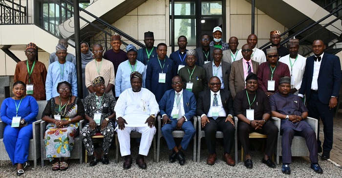
Adebomehin stated this at the 2024 Survey Coordination and Advisory Board’s Conference in Abuja.
The conference had “Repositioning the Nigerian Geospatial Space for the Renewed Hope Agenda and Sustainable Economic Development” as its theme.
It was organised by the Office of the Surveyor-General of the Federation for Surveyors-Generals of the 36 states of the federation and the FCT.
He explained that geospatial technology was a scientific field that uses various tools to collect, analyse, and display data with geographic components.
Adebomehin said that the geospatial system in surveying provides the needed solutions in decision making on security, health and agriculture.
He added that the technology was equally crucial to achieving sustainable food security, in line with President Bola Tinubu’s Renewed Hope Agenda.
The surveyor-general urged his counterpart across the 36 states and FCT to leverage geospatial technology to promote economic growth in the country.
“This underscores our collective responsibility to leverage on geospatial data and technologies as vital tools for national transformation, economic planning and sustainable development.
“We are reminded of the critical role geospatial information plays in addressing pressing national issues.
“These issues range from urban planning and infrastructural development to environmental management and disaster resilience.
”In alignment with the Renewed Hope Agenda of the Federal Government, we are tasked with repositioning our Geospatial space to drive innovation, efficiency, and inclusiveness in governance and economic growth,” he said.
Adebomehin said that the discussions and resolutions at the conference would focus on strengthening surveying across all levels.
He added that the conference would also consider capacity building through robust training programmes for surveyors.
This, according to Adebomehin, will foster the needed partnerships that advanced Nigeria’s leadership in geospatial technology and data management.
“There is also the need to maintain due diligence and professionalism to meet-up with the demands of the 21st century technology-driven economy.
”I am confident that this conference will serve as a catalyst for repositioning our profession, revitalising the geospatial sector and ensuring that survey and mapping remain at the forefront of Nigeria’s developmental agenda.”
Also speaking, Dr Mathew Ibitoye, President, Nigerian Institution of Surveyors (NIS), expressed the need for Nigeria to utilise its geospatial resources.
According to Ibitoye, the geospatial industry is key to unlocking the potential for decision makers towards achieving sustainable economic growth and resource management.
Ibitoye said that the theme of the conference was key to addressing the need for surveyors and geospatial communities to align with national aspirations for economic growth, climate resilience, and infrastructure development.
By Ahmed Musa
